by charles_lehmann | Sat 9 Jul 2022 | Hiking, Valais
Les cols alpins ont presque tous un point commun : ce ne sont pas tant les cols eux-mêmes qui ont posé des problèmes de franchissement, malgré, dans certains cas, une altitude importante. Ce sont plutôt les accès qui ont été pendant longtemps infranchissables, ce qui...
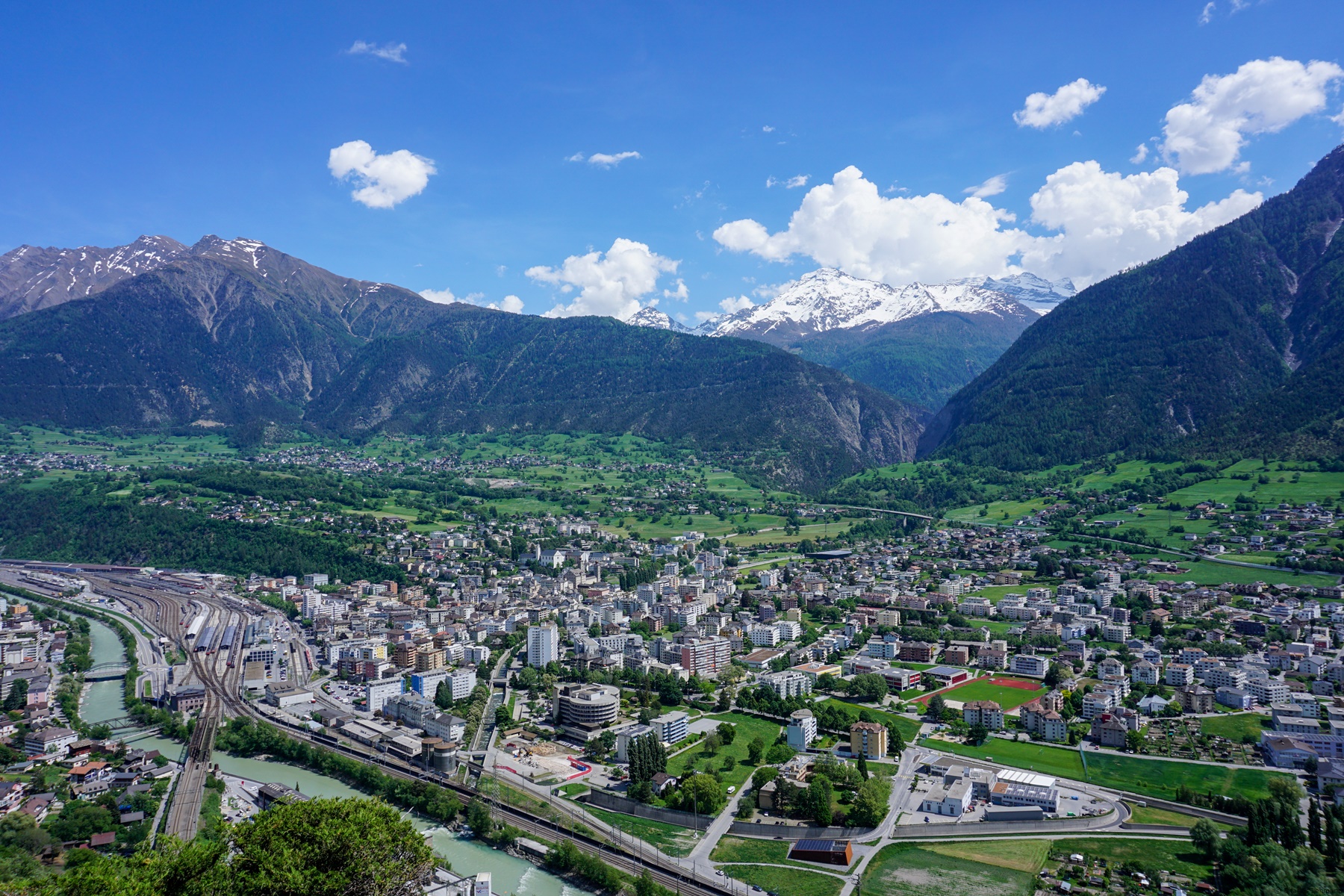
by charles_lehmann | Sat 14 May 2022 | Hiking, Valais
The route presented here was in the past called “the South Ramp of the Lötschberg”. This route started from Hohtenn station and followed as closely as possible the railway tracks of the Lötschberg line between this station and Brig. The new route called “The Sun...
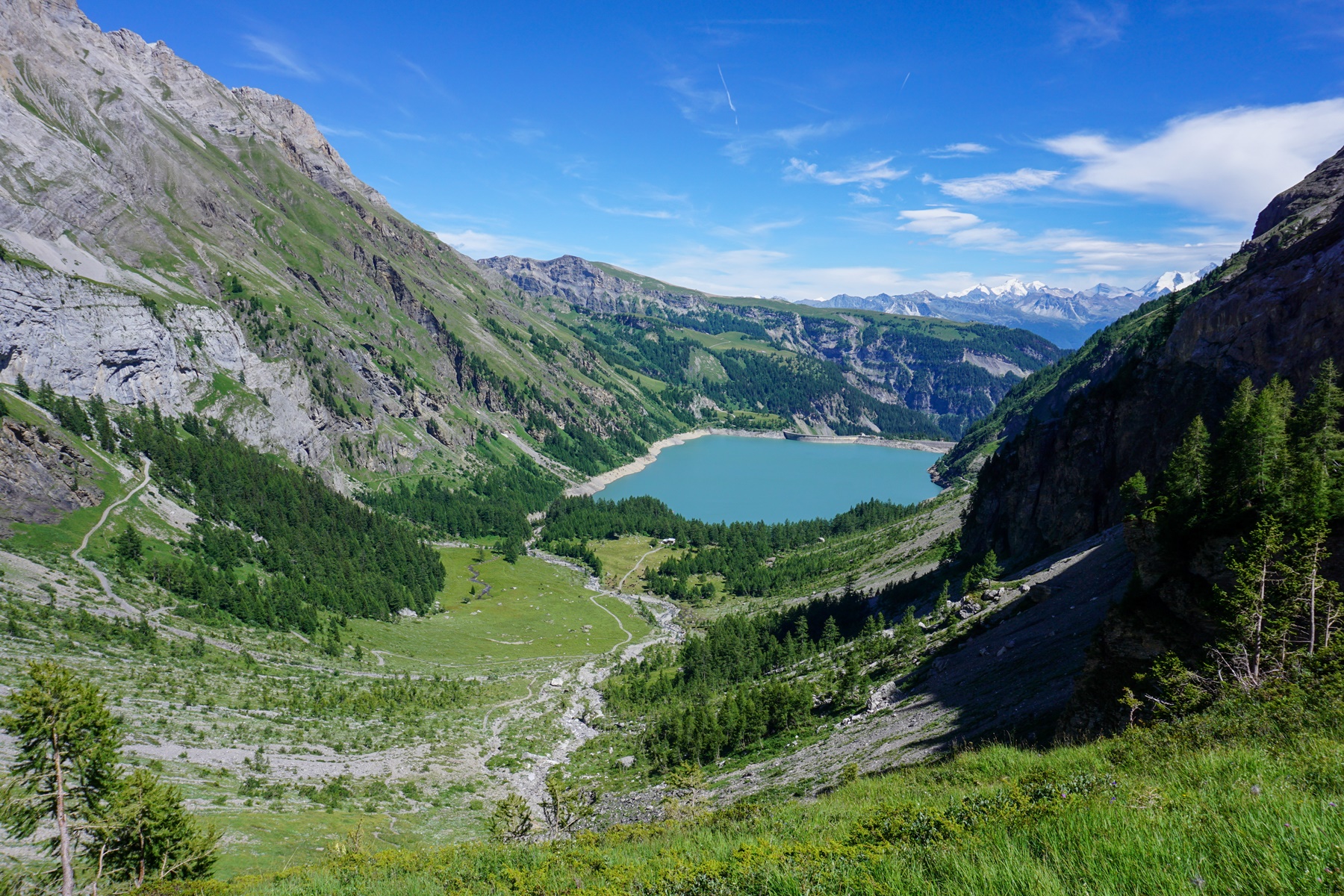
by charles_lehmann | Tue 30 Mar 2021 | Hiking, Valais
When one goes up Valais, whether by car or by train, one will certainly notice the large, slightly tortured rock wall located under the Haut de Cry. This wall descends towards the bottom of the valley and ends around Ardon.At first glance, it is hard to believe that a...
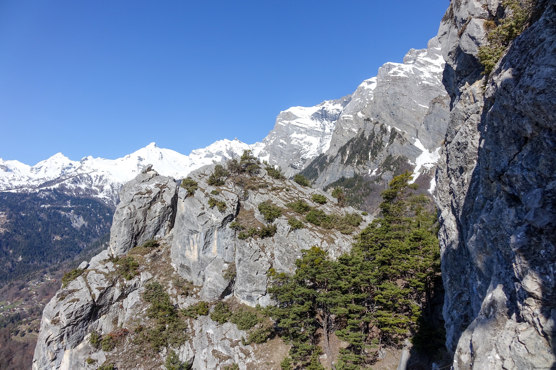
by charles_lehmann | Tue 17 Sep 2019 | Hiking, Valais
I had not been to the Emosson le Vieux dam since a long time. In other words, the last time I went up to the dinosaur tracks, the trail ran along the left bank of Lac du Vieux Emosson. At the height of the dam, one had to cross a gallery to follow the left bank before...
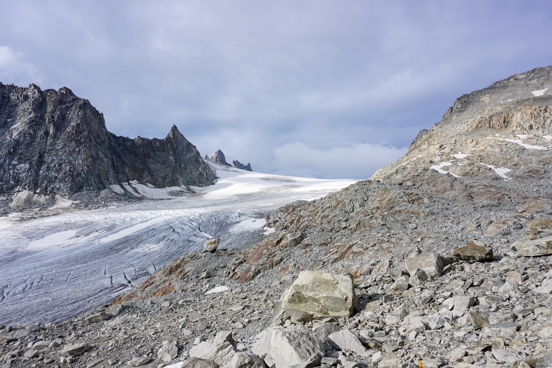
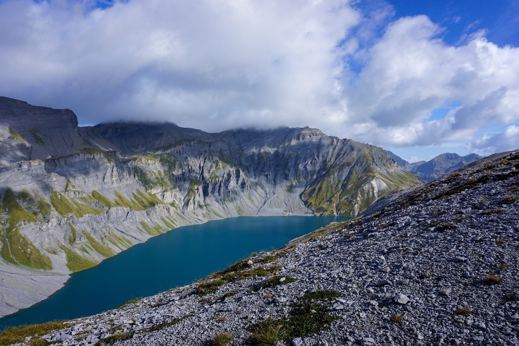
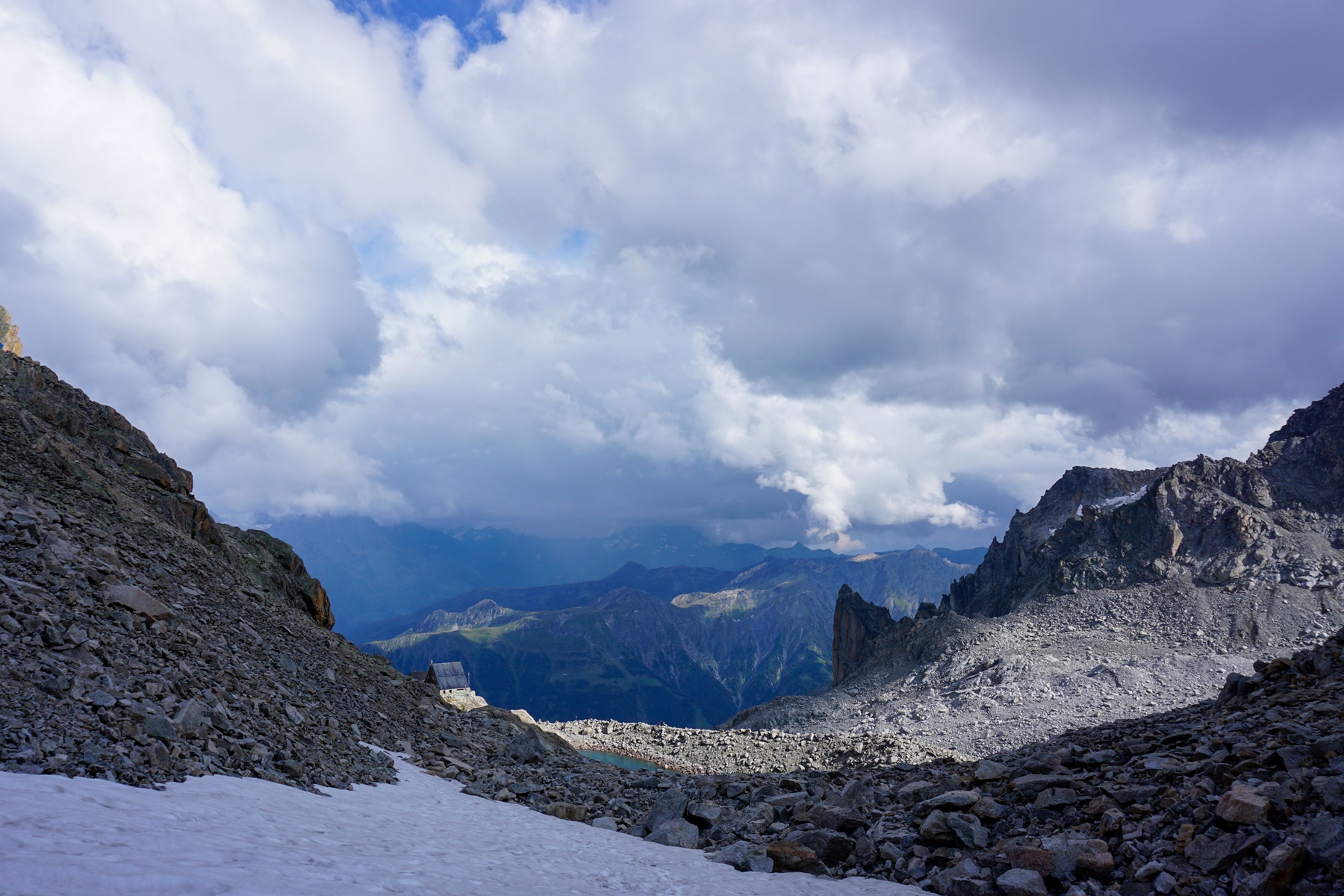
by charles_lehmann | Sun 1 Sep 2019 | Hiking, Valais
Vor ein paar Jahrzehnten, wenn man zur Trient-Hütte gehen wollte, musste man den Gletscher unterhalb der Cabane d’Orny erreichen, um auf oberhalb des spaltenreichen Abschnittes zu gelangen. Um nach Trient zu gelangen, musste man für den Gletscher ausgerüstet...
by charles_lehmann | Sat 31 Aug 2019 | Hiking, Valais
La montée à la cabane d’Orny est une entreprise qui peut être rendue moins ardue en utilisant le télésiège de la Breya. Ce faisant, on s’épargne 700m de montée depuis Champex-Lac (donc 3 bonnes heures).A partir de la Breya, le chemin se fraye un passage à...